Smart City Updates
UK's Hull city gets the support of aerial mapping for smart city plans
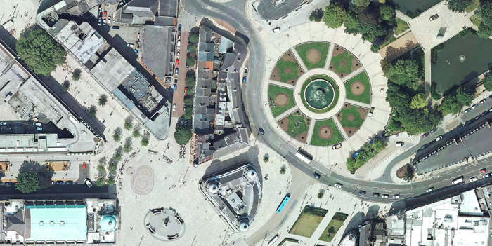
Bluesky company's aerial mapping technology which features a latest, ultra-high resolution survey camera gives a clear picture of the Hull city. The 5cm pixel resolution imagery is so detailed that road markings, street furniture and property boundaries are all clearly visible. It is hoped that the new digital photomap will provide a common platform for data and systems for developing a range of applications to improve connectivity, inclusivity and joined up decision in support of the Councils Smart City ambitions.
|